The Nepean
First Shown: 22 September, 2019 on YouTube
The Nepean, in New South Wales, Australia, was first known by three names, the Cowpasture River, the Mittagong River and the London River. It was eventually named after Evan Nepean the Under Secretary of the Home Office, in Britain. It is called Yandhai (Yarr nd harr i), by two indigenous people, the Gundungara, of the Goulburn region and the Darug, who were known as the Mulgoa, or Mulgowee clan.
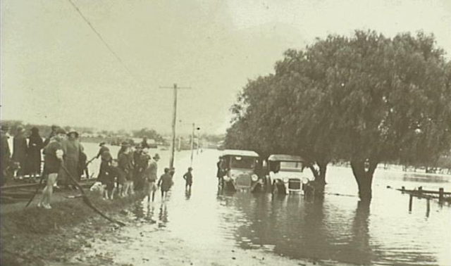
The early years of British colonisation were hard on the Nepean. Farmers stripped the trees and bushes from its banks while making pasture land, enabling its water to gouge away, it’s banks during the many floods, it had to endure. Nothing that we see today reminds us of how energetic the Nepean once was. Dams and weirs have been built to steady the flow, and draw off its precious cargo, to quench the thirst, of the expanding population of Sydney. All we see now is a weary, slow moving river tamed and shackled by man for its life-blood. water.
Our video starts at the rivers source, 130 kilometres south of Sydney, in the Southern Highlands, just a few kilometres from a small town near Robertson, called East Kangaloon.
We visit the Nepean Dam, that was built between 1925 and 1935. It was the last of 4 dams built, in answer to calls to the New South Wales Public Works Department for an abundant clean water supply for Sydney. The first dam was built on the Cataract river in 1907, then the Cordeaux Dam in 1926, followed by the Avon dam in 1927. Like all 3 previous dams, the Nepean dam’s wall was built using cyclopean masonry, that is, sandstone blocks, quarried from the site, fitted into an irregular pattern and packed with sandstone concrete.
The Neepean Dam's, main role today, is to supply water to the nearby towns of Bargo, Thirlmere, Picton and The Oaks, as well as the Macarthur and Prospect water filtration plants.
Downstream from the junction of the Cordeaux and Nepean rivers, built in 1888 as a crucial part of colonial Sydney’s water supply, is Pheasant’s Nest Weir. Today, the Scheme continues to supply 20 to 40 percent of Sydney's water.
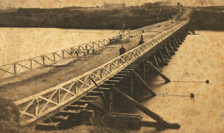
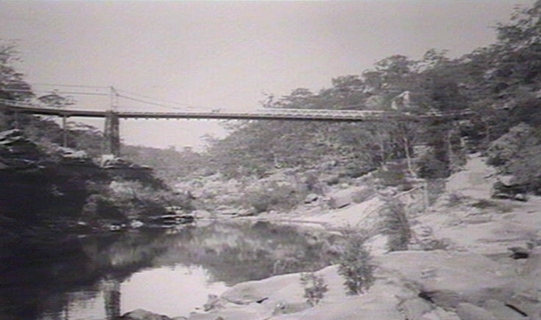
We now move forward to Harvey’s Crossing. This was a river-bed crossing that connected Wilton with the Great Southern Railway at Maldon Station. In 1903 a suspension bridge was finally built. Over the years it was burnt by bushfires and rebuilt but the steep winding approaches and the low load capacity of the suspension bridge warranted a replacement, so a modern prestressed concrete bridge was completed in 1980 on Picton Road and the suspension bridge abandoned.
A little further downstream, is the partially built Maldon-Dombarton ailway line. It is a 35 kilometer single track rail freight line, between the Main South Line at Maldon and Dombarton near Port Kembla. Construction on the line started in 1983, but was suspended in 1988 with around 25 kilometers of earthworks, such as major cuttings, embankments, and tunnel portals, completed.
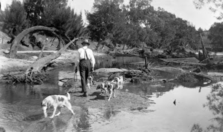
An all weather road bridge has never been built at Douglas Park over the Neepean. People living in the area say that, Longwall coal mining, damages rivers by cracking the beds, resulting in a loss of water, the spread of metal compounds and methane gasses, resulting in the loss of fishlife. We motored upstream, to see for ourselves wheather gases were still emanating from the river.
To film this documentary on the Nepean we visited wiers at Robertson, Pheasant's Nest, Maldon, Menangle, Camden, Cobbitty, Mt. Hunter, Brownlow, Theresa Park, Wallacia and Penrith. We travelled almost 180kms, from the source of the Nepean to its end, at Yarramundi Reserve, Agnes Banks where the Gross and Nepean rivers merge to start the Hawkesbury.