The Making of "The Nepean" - Day 14
First Shown: 21 May, 2019 on YouTube
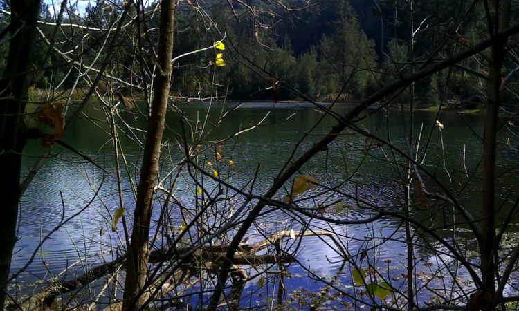
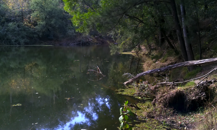
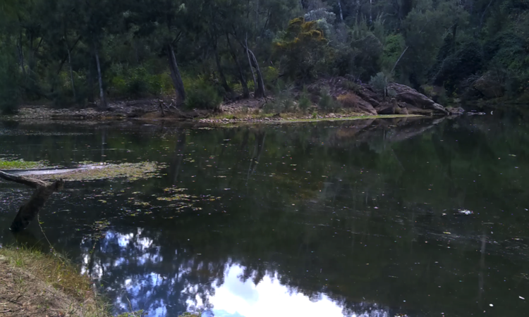
On Thursday, 6th May we visited the Junction of the Nepean and Warragamba rivers. It is three and a half kilometers downstream from the Warragamba Dam and a most beautiful serene place, but in times passed, it was a fiercely turbulent mixing point during floods, that ravaged downstream Penrith and Windsor.
The Upper Nepean Scheme mentioned earlier, helped diminish flood intensity in the Nepean, but the Warragamba river was another matter, as it was capable of adding more than double the amount of water to downstream flooding.
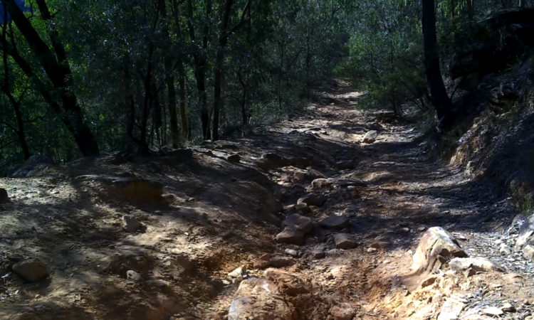
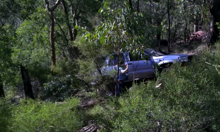
The river junction is at the end of Nortons Basin Road and having previously walked the trail to Nortons Basin on Day 5 in November last year we knew we were in for a difficult walk. Going down the steep dirt road, that 4 wheel drive vehicles have almost destroyed, was relatively easy considering, we left earlier in the day than last time, and avoided most of the days' heat.
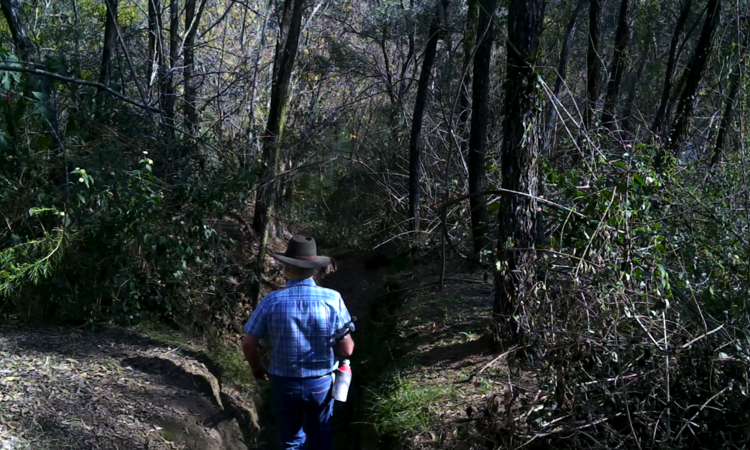
Previously, Jeff had only walked 270m of the road down to where it was necessary to turn off it to Nortons basin and I walked alone the rest of the way. This time we had to walk all the way to the end of the road/trail to where the Nepean and Warragamba rivers met. That trail turned out to be 850m from top to bottom so we knew it would be a difficult trip back up.
As you will see in this video the two rivers here create a most beautiful serene place.
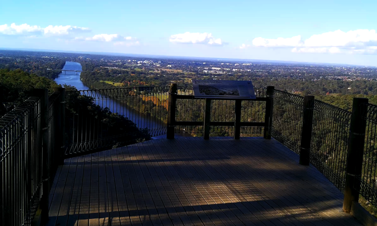
Mount Portal Lookout. This location was a surprise as it was unknown to me until doing research for the doco. To get there we drove to Glenbrook (in the Lower Blue Mountains), then wound our way down to Glenbrook Creek, along the Oaks Trail (dirt road), passing Blue Pools and Red Hands walking tracks, then Euroka Road, Mount Portal Trail and ending at Mount Portal Lookout.
My directions seem complicated but the drive was easy and only 7.7kms from Glenbrook to the Lookout. I'm glad we went because the view was amazing. I've included a photo in the Gallery.
Back to Blog Entries

