The Making of "The Nepean" - Day 12
First Shown: 21 April 2019 on YouTube
Two more weirs and a river junction were on our agenda today. These two weirs are also in the Camden area and we found them on maps after we had visited the two on Day 2. Now, this gets complicated. The first weir we visited on Day 2 and very close to Cobbitty Road, that we called Cobbitty Weir, is actually Mt Hunter Weir and the second one is Cobbitty Weir. The first weir visited today was Sharpes Weir, the second one, Camden Weir. Who'd of thought?
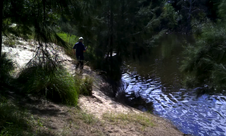
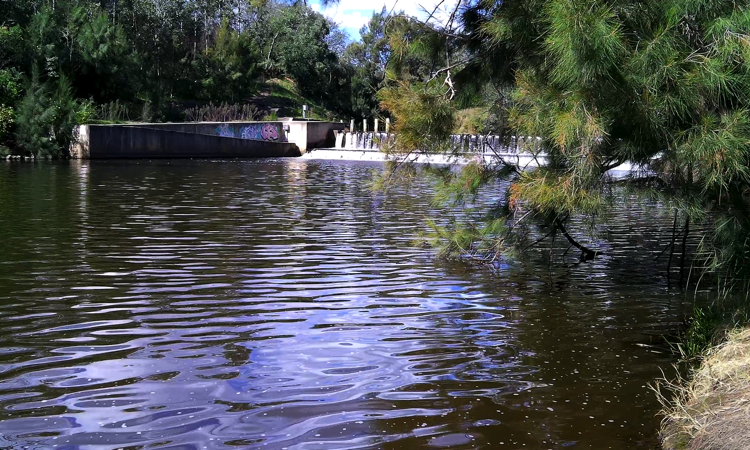
When we arrived at our parking stop on Mooresfield Lane we noticed a concrete walking path leading to the river. This was going to be easy, I thought. We walked the path almost to the river where it ended in thick undergrowth. It was not so easy after all, as there was no path to the weir on this side of the river. Again, we resorted to scrambling over logs and under bushes as we have had to do so many times on previous days. We found it but not before walking across the rear-end of peoples backyards, around their boats and canoes, garden tables and chairs and even a small jetty.
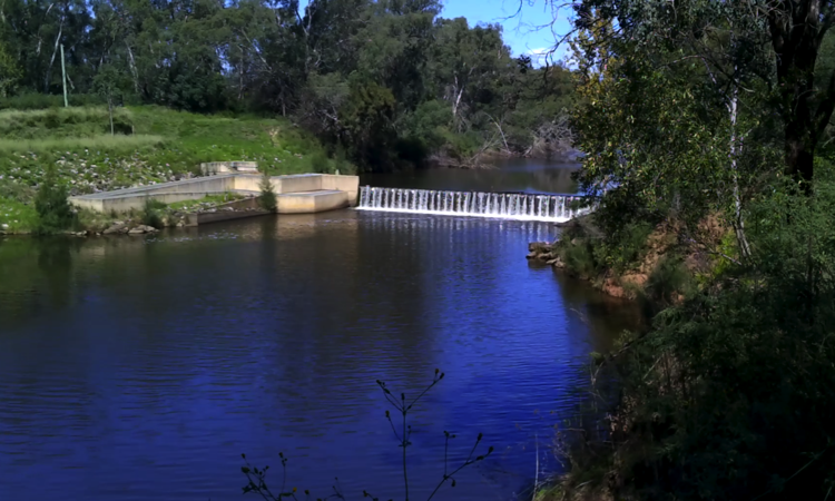
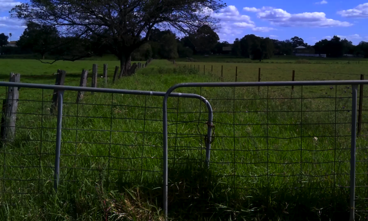
The next weir, we now knew was Camden Weir and rightfully so as we could almost see the main street of Camden from the paddock we had to trapse through. Or should I say paddocks. Paddocks with waist-high grass and in places beasties roaming about, like cows and horses. Nice looking weir but no path to get there, though.
With the weir videos 'in-the-can' (that's film talk) we drove south from Camden, through Picton to Tahmoor, then turned left off the Old Hume Highway and eventually into River Road, where according to Google Maps (Satelite view) there was a house that we needed to stop at to get permission to drive through their fields to reach the Junction of the Nepean and Bargo rivers.
Surprise, surprise. There was no house because the whole area was being re-developed to become an estate called 'The Acres'. Couldn't they come up with a more imaginative name than that? Fortunately, for us, we got there at the right time as the road to the junction we saw on Google Maps was still there. It was hardly a road anymore. It hadn't had a vehicle on it for many years and the single lane bitumen surface was hard to see for all the weeds growing through it, let alone drive on it. And the smell...
We could not pick what the smell was, but it was strong. Not being farmers we had no idea. Afterwards we found out farmers haphzardly throw Canola seeds that grow in the paddocks and provide additional sustenance for their cattle. Did I say the smell was extremely overpowering?
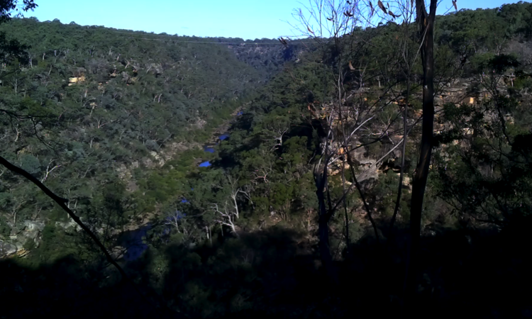
Okay, we're now at the end of the so-called road and it's about 5 o'clock. The sun won't stay up too much longer and we have yet to find a river junction we know will be down in a valley that is hidden by a covering of trees. We easily found the valley and a river, but which river? Was it the Nepean or was it the Bargo? Were we upstream or downstream? Were we lost and destined to be overcome by Canola fumes?
Now, if you have been following this blog since Day 1 you will remember we visited Fullcircle Farm to video this junction but we never really made it. We saw the Nepean river below but we didn't actually reach the junction. Yep, too much undergrowth and too far to walk. Today's trip was to make up for this loss. We accomplished our goal. We found the junction, got our video and left the Canola plants to gas someone else.