
The Making of "The Nepean" - Day 8
First Shown: 10 January 2019 on YouTube
Pheasants Nest Weir today and we were a bit hesitant. My research showed four different ways to reach this weir and none of then easy. The first path required us to get permission from a landowner but we found the gate locked and no way to contact them. The second path's gate was fenced in and the gate was locked. The third path we took led us onto property that was also fenced in with no gate to give us entry to the road to the weir we had seen on Google Maps. We were quckily runnung out of options.
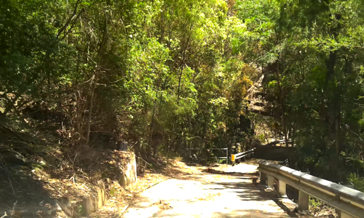
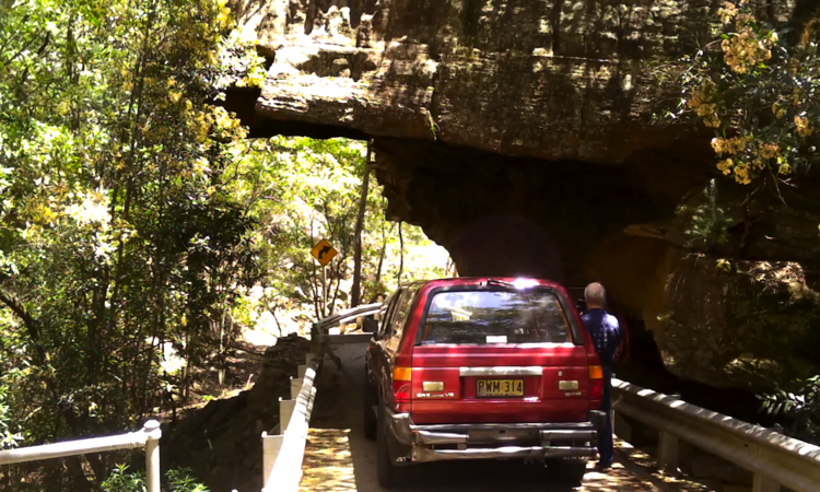
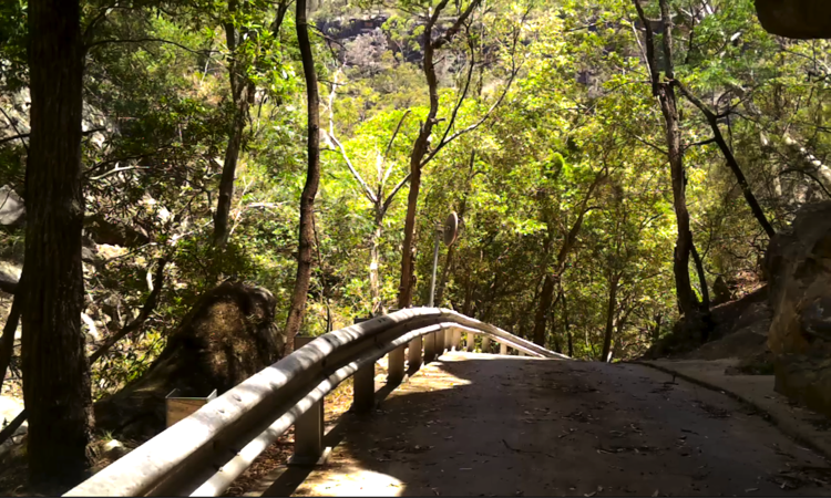
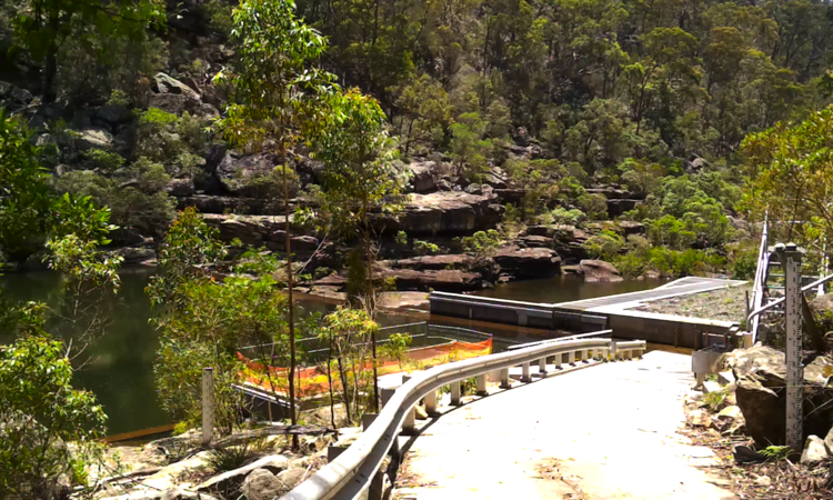
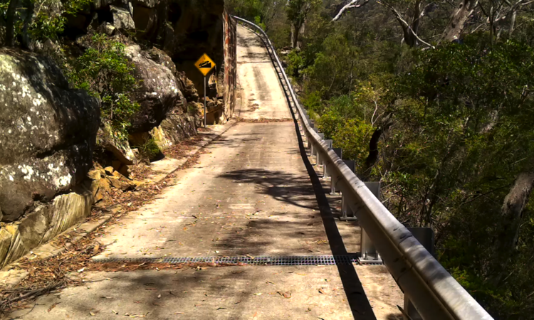
Fortunately, we gained entry to the dirt road and after a drive of 8kms we arrived at a locked gate. We were totally unable to drive around this one - cliff on one side and ravine on the other - so we left the vehicle and walked the remaining 450m. Of course it was downhill and steep too, but it was a concrete road, which is unusual when we just came off a dirt road.
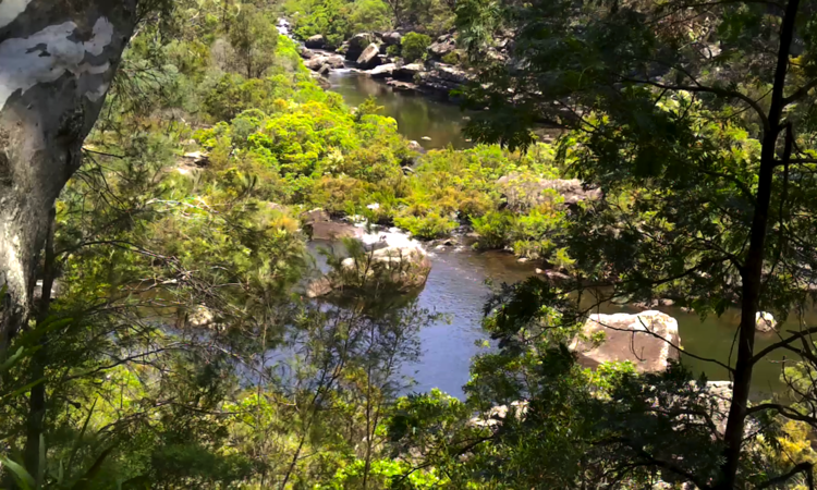
On the way down, was the junction of the Nepean and Cordeaux rivers. Not much to see, lots of trees blocking our view, but we did get what we wanted to capture. It's all there in today's video.
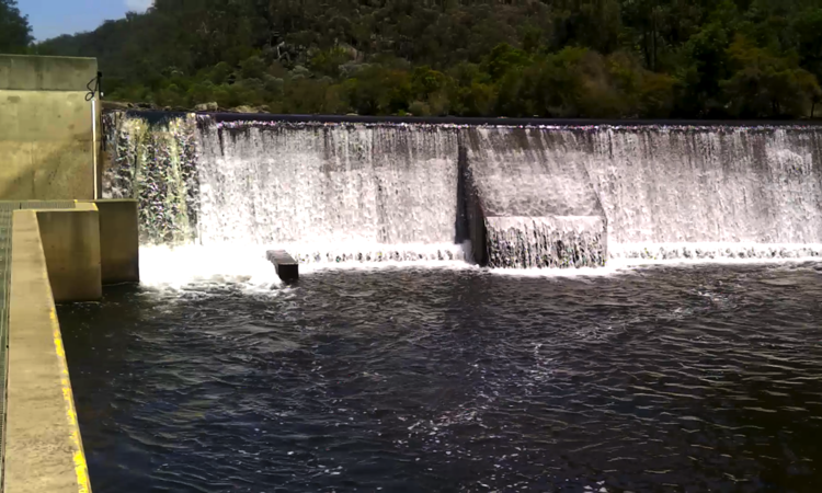
At the end of the concrete road we found the weir and it was a beauty. It's always so peacefull down in the valleys amongst the bolders and trees listening to the water tumble over weirs onto the rocks.
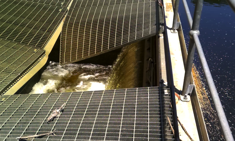
It's here at Pheasants Nest Weir that the Nepean's water, an accumulation of the water released from the Avon Dam into the Cordeaux River and then into the Nepean, is diverted into a 7km tunnel that channels the water into Broughton's Pass Weir which is located on the Cataract River. From there it finds its way to Sydney through, more tunnels, aqueducts and open canals. It is hard to believe that all this was put in place 125 years ago.
To prove this point here is a excerpt from The Daily Telegraph, called 'Sydney's Water System', dated Tuesday, 16 April, 1901. It reads:
"The magnitude of the works under the control and management of the Metropolitan Board of Water Supply and Sewerage may not be clearly understood. Unlike the railways of the State, the system of water supply, which is so essential to the health and the prosperity of the people of Sydney, is not generally gauged by the public in the light of its real importance, for the simple reason that the works are necessarily hidden, or isolated from view, and the people concerned have become so accustomed to the service that they readily forget of what dimensions and value it really is.
"The sources of the existing scheme are the Nepean, Cordeaux, and Cataract rivers, which take their rise mostly in swampy flats on the western slopes of the Illawarra Ranges, and receive the drainage of the elevated tract of table land which extends from Madden's Plains, near Bulli, on the north, to Mittagong, on the south. The Prospect reservoir, when full, covers an area of 1300 acres, and has a capacity of over 11,000,000,000 gallons, or one and a half year's supply at the present rate of consumption. The water coming direct from the sandstone country requires no filtering, but in order to prevent the entrance into the distributing mains and service reservoirs of the larvae of insects, small fish, and shrimps, which come down with the water, a screening tank is constructed along the Pott's-hill reservoir. This explains to the uninitiated the vastness of the scheme established for the purpose of safeguarding the health, and securing the comfort and convenience of the dwelIers of Sydney."
For those of you that want to read further, here is the link to the newspaper aticle. The Daily Telegraph