The Making of "The Nepean" - Day 2
First Shown: 28 October 2018 on YouTube
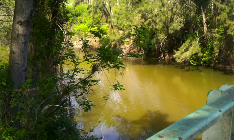
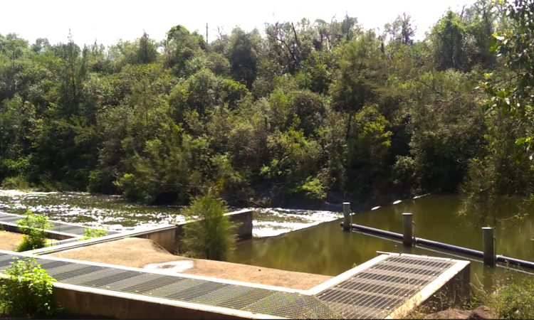
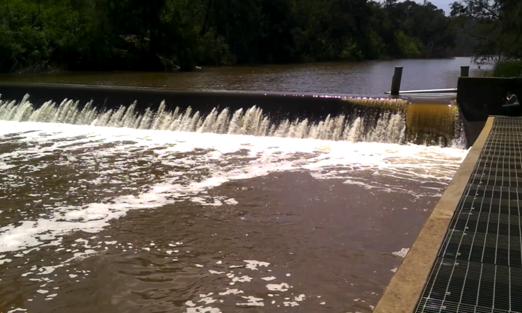
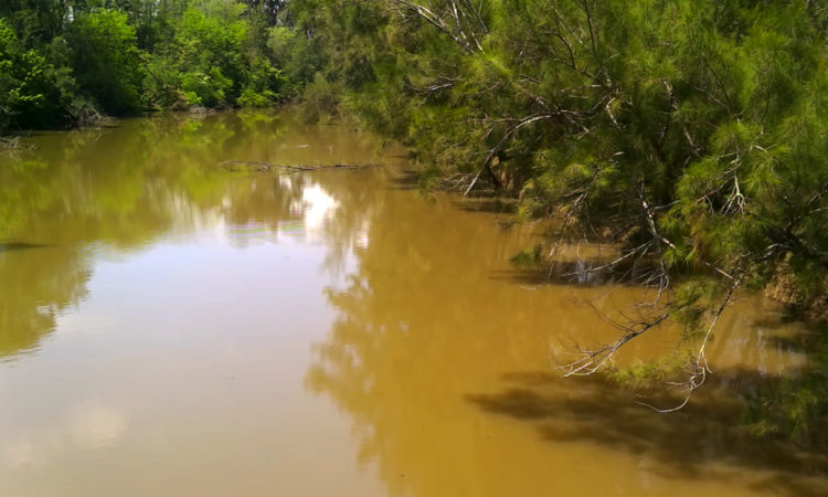
This is such a thrill. We had a great time on Day 1 and we get to do it again today, with seven new locations. I am finding more places to visit every day. Our first stop after buying coffee at 711 is Cobbitty Road Bridge, then a weir only 270m downstream and completely hidden from the bridge. Later I discovered this was Mt Hunter Weir. There is such a contrast between the seemingly motionless river at the bridge and the water tumbling over the weir.
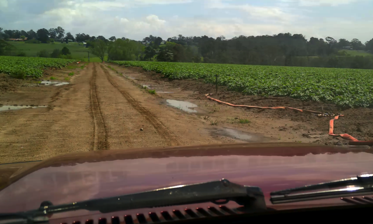
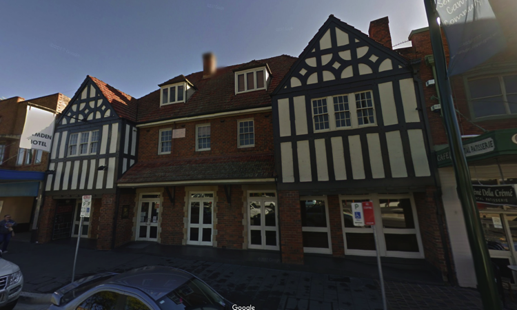
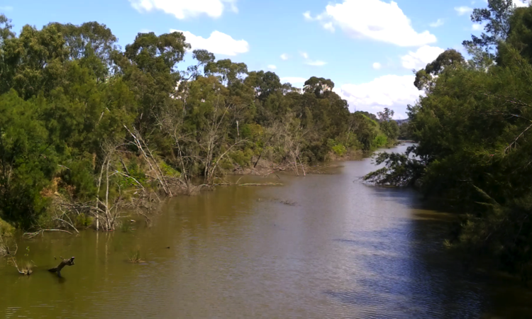
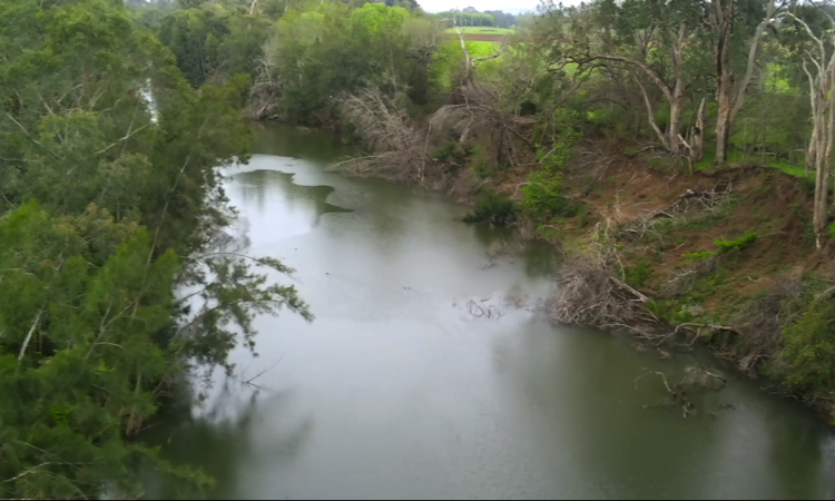
Following the weir we visited another weir accessed from Ellis Lane. Again, I had no name for it so at the time I called it Camden Weir but it is Cobbitty Weir. We had difficulty getting to this weir and drove through a huge paddock of cabbages before we found the correct path behind a gate that was chained, but fortunately, not padlocked. With video recorded we headed for a bridge on Macquarie Grove Road near Camden. The view here is similar looking to the view at Cobbitty Bridge - Lots of trees along the shoreline and peaceful water between. It's funny how the colour of the water changes. Maybe that is caused by run-off from the farms upstream. With weirs so close together we don't see any water bubbling over rocks, then again, we don't see rocks either. Lunch is next so we drove into Camden and ate at the Camden Hotel in Argyle Street.
Three more locations were scheduled for after lunch and they were all in the Camden area. These were two road bridges and one walking bridge. Why so many bridges you ask... bridges give us easy access to the river and we already know that we will have to do a lot of hiking to future locations since the Nepean flows in out-of-the-way places more difficult to reach than where we visited today.
The bridge at the eastern end of Argyle Street is called 'Cowpasture Bridge' and is 600m east of Camden so we went there first. It was more noisier than the two we saw before lunch, because of traffic entering Camden from Camden Valley Way that ends at the bridge. Again, the river displayed the same characteristics as under previous bridges.
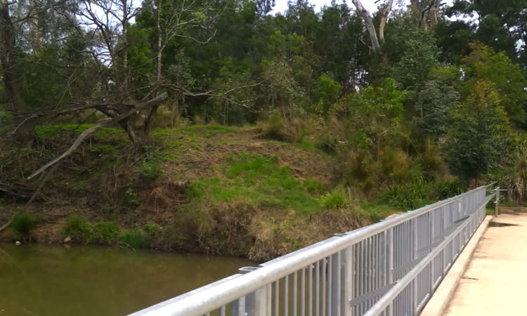
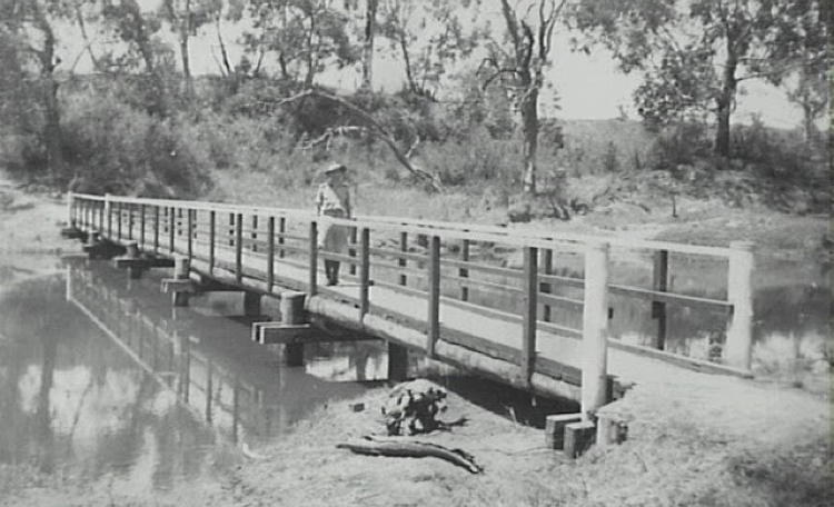
Little Sandy bridge was very picturesque situated at the eastern end of Chellaston Street and is accessed through Chellaston Park. This little bridge has quite a history to it. The pondage was created on the river with the construction of the Camden Weir in 1907, but it wasn't until January 1935 that the Camden Council aldermen were in one accord that the resumption of land at Little Sandy, as previously proposed by council, should be proceeded with immediately. It appears that the owner of the land, a Mr Andrews, refused to sell it when asked in September of the previous year. After the land was acquired the site became a popular spot with local Europeans for many decades for swimming, picnicking, boating and fishing. In around 1943, the Little Sandy Bridge was constructed, but it's not that particular bridge we saw today.
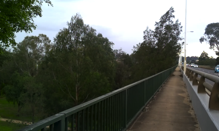
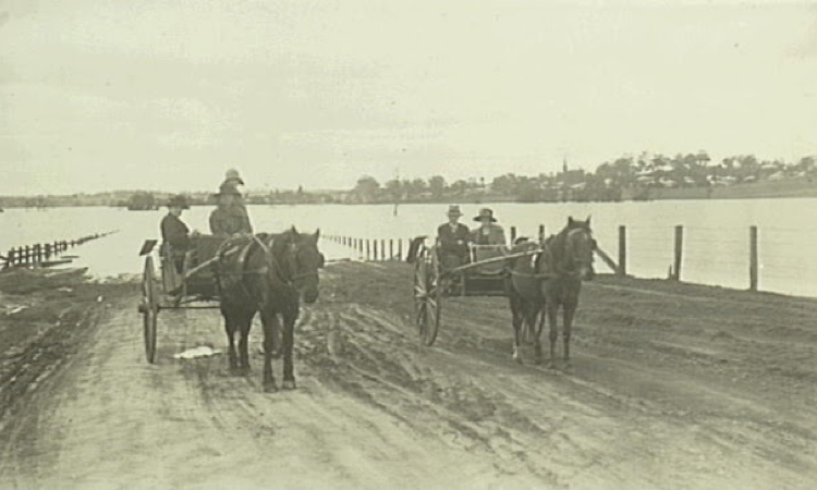
Our last stop was the bridge built for the Camden bypass and called Macarthur Bridge. Along with its end access's this bridge is very long as it crosses over the Camden floodplain - a 1.2km wide low flat area - a place where in the past the Nepean flooded many times and cut Camden off in many directions. (A photograph of the flood of 1925 is in my Photo Gallery)
Towards the end of this days shoot while we were half way to the river walking along the pathway to the Macarthur Bridge it began to rain. Only slightly at first but stronger as time went on. We obtained the video we needed and drove to a spot under the bridge where I recorded a closing dialogue, since I neglected to do an opener earlier. It was dry there and when you watch this days video you will notice I am very wet. We had so much fun that day there's no way a little rain could dampen our enthusiasm.